Geodetic Surveyors
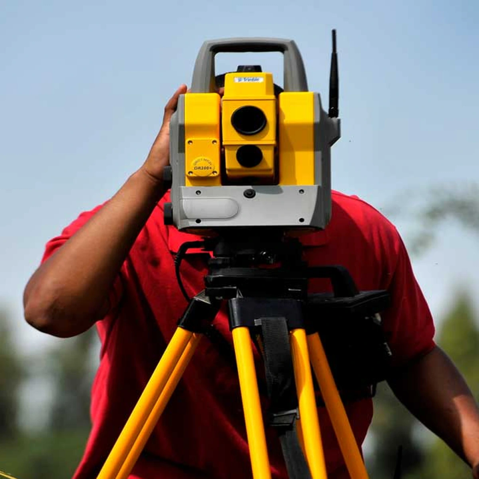
Geodetic Surveyors are specialists who measure and map large areas of the Earth's surface with incredible precision. They use cutting-edge technology like satellites, GPS systems, and laser scanning equipment to create accurate maps and determine exact locations. This work is essential for construction projects, environmental monitoring, and navigation systems. The field combines outdoor fieldwork with high-tech equipment and requires strong mathematical and analytical skills.
Did you know?
To become a Geodetic Surveyor, you typically need a Bachelor's degree in Surveying, Geospatial Science, or Engineering. Many Australian universities offer specialised programs, and some positions may require professional registration with relevant surveying boards.
At a glance
Typical average pay
$74,100 Avg/yr
Growth
Stable
Top skill
Mathematics
Things to consider
Technology and Skills Development
This field requires strong mathematical skills and familiarity with advanced technology including GPS systems, satellite imagery, and specialised software. Students should focus on developing analytical thinking and comfort with digital tools and mapping technologies.
Career Opportunities and Work Environment
Geodetic Surveyors work for government agencies, engineering firms, mining companies, and environmental organisations. The role often combines office-based data analysis with outdoor fieldwork, offering variety and the opportunity to work on important infrastructure and environmental projects.