Surveying and Mapping Technicians
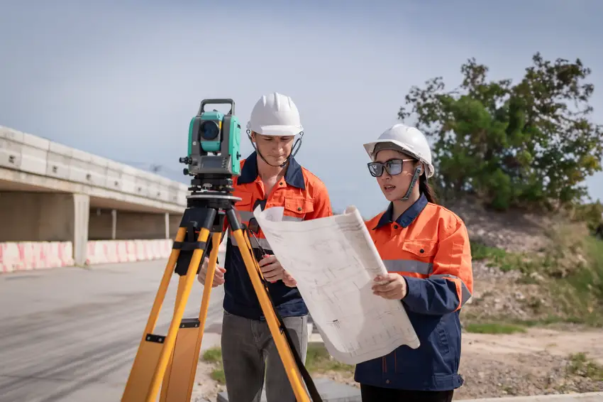
Surveying and Mapping Technicians work under the guidance of engineers and surveyors to collect precise measurements and data for construction projects, mapmaking, and land boundary determination. They use advanced technology like GPS systems, laser scanners, and drone equipment to gather accurate geographical information. This role requires strong mathematical skills and attention to detail, with opportunities to work both outdoors and in office environments using specialised mapping software.
Did you know?
Consider pursuing a Certificate III or IV in Surveying and Spatial Information Services through TAFE, or a Bachelor's degree in Surveying or Geospatial Science at university. Many employers also value practical experience gained through apprenticeships or traineeships.
At a glance
Typical average pay
$75,000 Avg/yr
Growth
Stable
Top skill
Reading Comprehension
Things to consider
Technology and Equipment Skills
Modern surveying relies heavily on advanced technology including GPS systems, total stations, and drone equipment. Developing skills with computer software for mapping and data analysis, such as GIS programs, will be highly valuable in this field.
Career Progression Opportunities
Starting as a surveying assistant or technician can lead to roles as a licensed surveyor with additional qualifications. The field offers opportunities in construction, mining, environmental consulting, and government agencies across Australia.
Key responsibilities
Assists with the measuring of distances, angles and variations in terrain as directed by a surveyor
Places pegs and other survey marks as directed
Performs various duties to assist surveyor, such as establishing plumb marks